Source: Science.Org
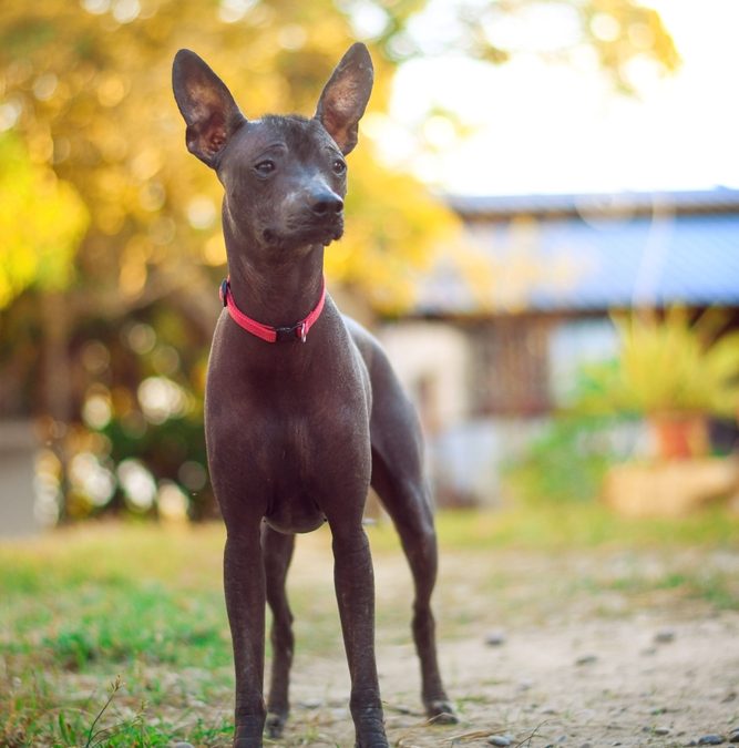
An estimated 59,000 people die from rabies annually, primarily from dog bites in rural low- and middle-income countries. Researchers have used Google Street View and citizen scientists to track stray dogs in Arequipa, Peru, where most of the country’s canine rabies cases occur. Accurate dog population counts are essential for effective rabies vaccination programs. The study, published in bioRxiv, found 868 stray dogs in 26 areas, closely matching previous door-to-door counts.
This method, initiated during the COVID-19 pandemic, proved more cost-effective and accurate than traditional surveys. Citizen scientists, recruited via social media, analyzed Google images to count dogs. The approach has potential to save significant funds and improve rabies control. Challenges include limited Google Street View coverage in rural areas. The method could also help monitor other zoonotic diseases like Echinococcus if image quality and coverage improve.
Read the full story HERE: https://www.science.org/content/article/google-street-view-helps-scientists-track-stray-dogs-peru